Ficheiro:Wfm lough neagh.jpg

Tamaño desta vista previa: 800 × 593 píxeles. Outras resolucións: 320 × 237 píxeles | 640 × 474 píxeles | 1.024 × 758 píxeles | 1.280 × 948 píxeles.
Ficheiro orixinal (1.280 × 948 píxeles; tamaño do ficheiro: 151 kB; tipo MIME: image/jpeg)
| Este ficheiro procede de Wikimedia Commons. A continuación móstrase a información da súa páxina de descrición. Commons é un repositorio libre de ficheiros multimedia. Pode contribuír alí cargando as súas imaxes. |
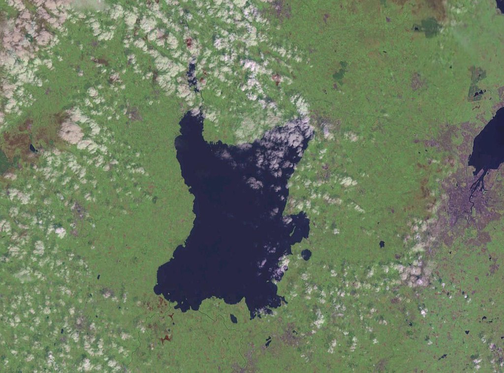
| Descrición | Lough Neagh in Northern Ireland |
| Data | Data descoñecida |
| Orixe | NASA Landsat |
| Autoría | NASA |
| Licenza (Reuso deste ficheiro) |
usgov-PD |
| This image is in the public domain because it is a screenshot from NASA’s globe software World Wind using a public domain layer, such as Blue Marble, MODIS, Landsat, SRTM, USGS or GLOBE.
|
 |
Historial do ficheiro
Prema nunha data/hora para ver o ficheiro tal e como estaba nese momento.
| Data/Hora | Miniatura | Dimensións | Usuario | Comentario | |
|---|---|---|---|---|---|
| actual | 28 de abril de 2006 ás 22:36 | | 1.280 × 948 (151 kB) | Finlay McWalter | {{Information| |Description=Lough Neagh in Northern Ireland |Source=NASA Landsat |Date=? |Author=NASA |Permission=usgov-PD |other_versions= }} {{PD-WorldWind}} |
Uso do ficheiro
As seguintes 3 páxinas usan este ficheiro:
Uso global do ficheiro
Os seguintes wikis empregan esta imaxe:
- Uso en ang.wikipedia.org
- Uso en br.wikipedia.org
- Uso en cs.wikipedia.org
- Uso en cv.wikipedia.org
- Uso en cy.wikipedia.org
- Uso en da.wikipedia.org
- Uso en de.wikipedia.org
- Uso en en.wikipedia.org
- Uso en eo.wikipedia.org
- Uso en fa.wikipedia.org
- Uso en frr.wikipedia.org
- Uso en fr.wikipedia.org
- Uso en gv.wikipedia.org
- Uso en it.wikipedia.org
- Uso en ka.wikipedia.org
- Uso en lv.wikipedia.org
- Uso en nn.wikipedia.org
- Uso en no.wikipedia.org
- Uso en pms.wikipedia.org
- Uso en pt.wikipedia.org
- Uso en qu.wikipedia.org
- Uso en ru.wikipedia.org
- Uso en sco.wikipedia.org
- Uso en simple.wikipedia.org
- Uso en sk.wikipedia.org
- Uso en te.wikipedia.org
- Uso en tr.wikipedia.org
- Uso en zh-min-nan.wikipedia.org
- Uso en zh.wikipedia.org