Ficheiro:Ukraine under russian occupation grey.svg

Tamaño desta vista previa en PNG do ficheiro en formato SVG: 800 × 538 píxeles. Outras resolucións: 320 × 215 píxeles | 640 × 430 píxeles | 1.024 × 688 píxeles | 1.280 × 860 píxeles | 2.560 × 1.720 píxeles | 3.780 × 2.540 píxeles.
Ficheiro orixinal (ficheiro SVG; resolución de 3.780 × 2.540 píxeles; tamaño do ficheiro: 1,8 MB)
| Este ficheiro procede de Wikimedia Commons. A continuación móstrase a información da súa páxina de descrición. Commons é un repositorio libre de ficheiros multimedia. Pode contribuír alí cargando as súas imaxes. |
Resumo
| Descrición |
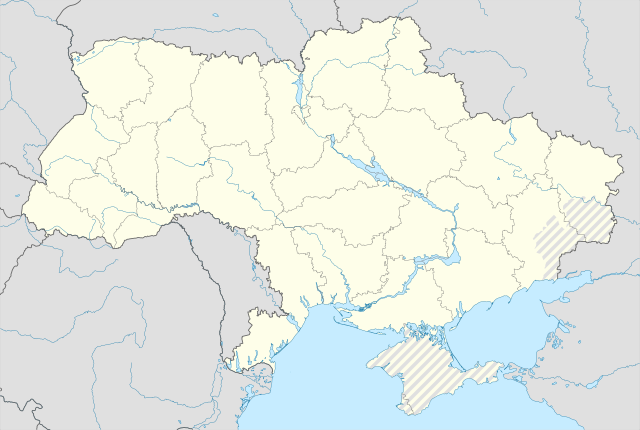
English: Location map of Ukraine under Russian occupation.
Українська: Карта України з зонами російської окупації. |
| Data | |
| Orixe |
Obra própria, usando: Ukraine adm location map improved.svg, according to
|
| Autoría | Yakiv Gluck |
| Outras versións |
|
| SVG desenvolvimento | Esta imaxe vectorial foi creada co Adobe Illustrator |


Licenza
Eu, como posuidor dos dereitos de autor desta obra, pola presente publícoa baixo a seguinte licenza:
Este ficheiro está licenciado baixo a licenza Creative Commons recoñecemento compartir igual 4.0 internacional.
- Vostede é libre de:
- compartir – copiar, distribuír e difundir a obra
- facer obras derivadas – adaptar a obra
- Baixo as seguintes condicións:
- recoñecemento – Debe indicar a debida atribución de autoría, fornecer unha ligazón á licenza e indicar se se realizaron cambios. Pode facer isto de calquera forma razoable, mais non nunha forma que indique que quen posúe a licenza apoia ou subscribe o seu uso da obra.
- compartir igual – Se altera, transforma ou amplía este contido, debe publicar as súas contribucións baixo a mesma licenza ou outra compatible á orixinal.
Historial do ficheiro
Prema nunha data/hora para ver o ficheiro tal e como estaba nese momento.
| Data/Hora | Miniatura | Dimensións | Usuario | Comentario | |
|---|---|---|---|---|---|
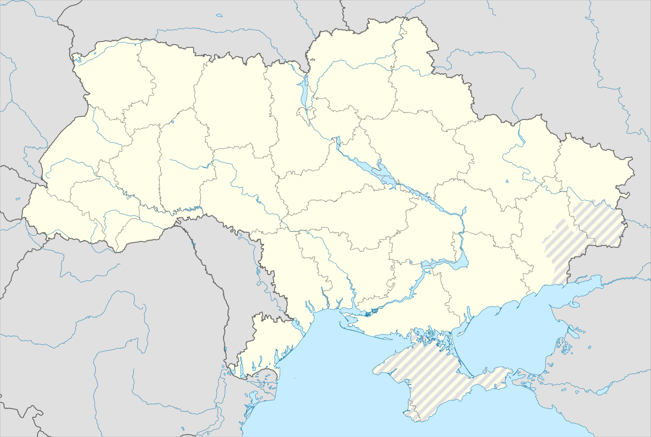
| actual | 19 de xuño de 2023 ás 06:53 | | 3.780 × 2.540 (1,8 MB) | Physeters | Reverted to version as of 02:11, 12 May 2023 (UTC) revert removed my detail improvements in the Dnieper delta and is no longer accurate |
| 18 de xuño de 2023 ás 21:48 |  | 3.780 × 2.540 (1,54 MB) | Yeagvr | Reverted to version as of 17:23, 3 October 2022 (UTC) | |
| 12 de maio de 2023 ás 02:11 |  | 3.780 × 2.540 (1,8 MB) | Physeters | add improved tracing of the Dnieper Delta | |
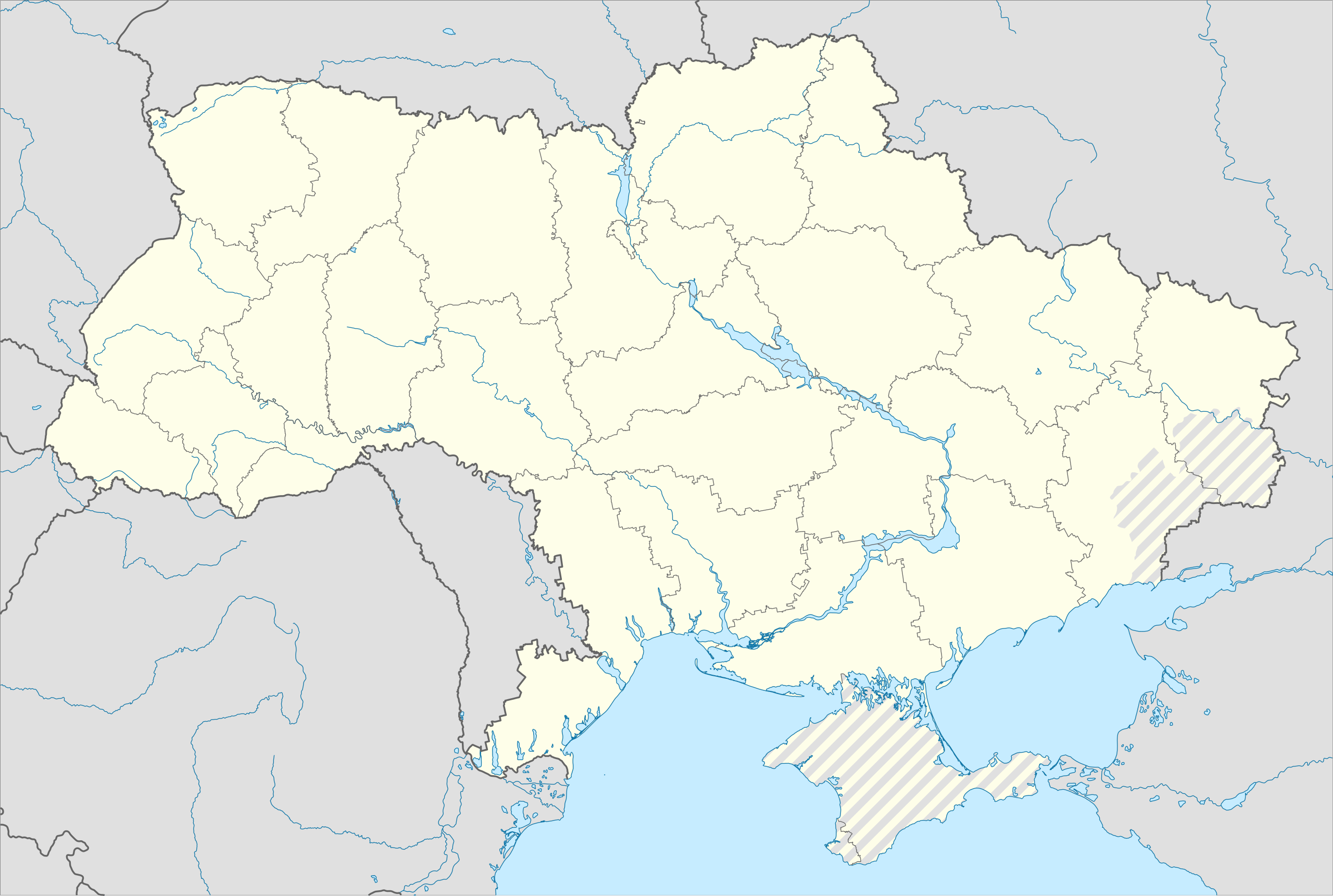
| 4 de outubro de 2022 ás 01:30 |  | 3.780 × 2.540 (1,36 MB) | Tol | Reverted to version as of 17:17, 3 March 2018 (UTC): this substantially changes a file that was not expected to be updated, this file is intentionally different from File:Ukraine under russian occupation.svg | |
| 3 de outubro de 2022 ás 17:23 |  | 3.780 × 2.540 (1,54 MB) | Janitoalevic | Updated. | |
| 3 de marzo de 2018 ás 17:17 |  | 3.780 × 2.540 (1,36 MB) | Yakiv Gluck | improved using new adm loc map | |
| 27 de xaneiro de 2018 ás 01:36 |  | 1.546 × 1.038 (457 kB) | Yakiv Gluck | {{Information |Description ={{en|Location map of Ukraine under russian occupation.}} {{uk|Карта України з зонами російської окупації.}} |Source =own work, using [[:F... |
Uso do ficheiro
Non hai páxinas que usen este ficheiro.
Uso global do ficheiro
Os seguintes wikis empregan esta imaxe:
- Uso en bcl.wikipedia.org
- Uso en bn.wikipedia.org
- Uso en en.wikipedia.org
- Chernobyl
- Geography of Ukraine
- Poltava
- Kerch
- Sevastopol
- Tarashcha
- Yalta
- Nestor Makhno
- Sverdlovsk, Ukraine
- Chernivtsi
- Kaniv
- Halych
- Pripyat
- Lutsk
- Drohobych
- Kovel
- Ivano-Frankivsk
- Kalush, Ukraine
- Volodymyr (city)
- Kortelisy
- Starobilsk
- Uzhhorod
- Chernihiv
- Sumy
- Staryi Ostropil
- Kyiv
- Kosivka, Odesa Oblast
- Kosiv
- Shpola
- Mukachevo
- Simferopol
- Irpin
- Khmelnytskyi
- Fastiv
- Boltysh crater
Ollar o uso global deste ficheiro.