Ficheiro:Operational Navigation Chart A-5, 3rd edition.jpg

Tamaño desta vista previa: 800 × 572 píxeles. Outras resolucións: 320 × 229 píxeles | 640 × 457 píxeles | 1.024 × 732 píxeles | 1.280 × 915 píxeles | 2.560 × 1.829 píxeles | 9.254 × 6.613 píxeles.
Ficheiro orixinal (9.254 × 6.613 píxeles; tamaño do ficheiro: 15,38 MB; tipo MIME: image/jpeg)
| Este ficheiro procede de Wikimedia Commons. A continuación móstrase a información da súa páxina de descrición. Commons é un repositorio libre de ficheiros multimedia. Pode contribuír alí cargando as súas imaxes. |
Resumo
| Descrición |
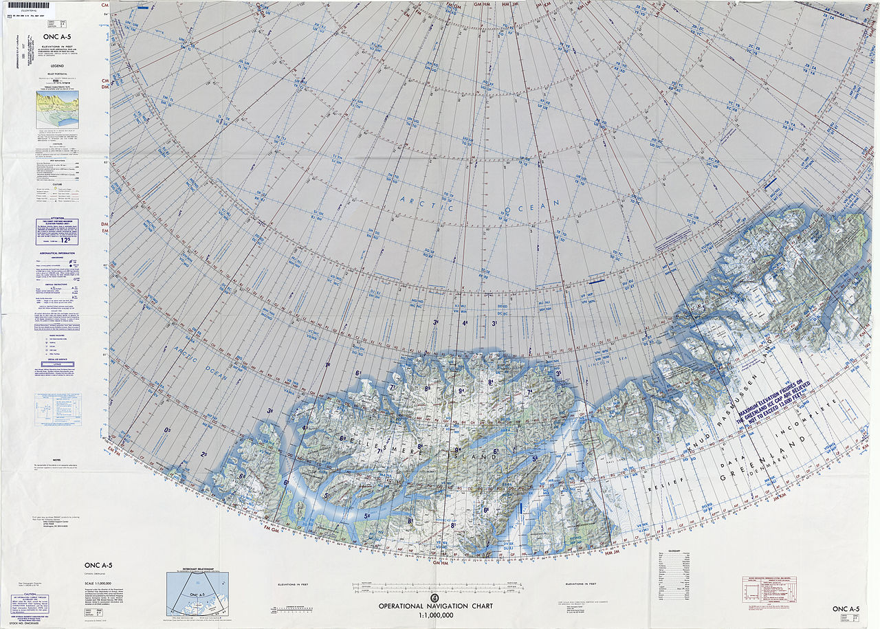
English: 1:1,000,000 scale Operational Navigation Chart, Sheet A-5, 3nd edition.
|
| Data | |
| Orixe | |
| Autoría | Defense Mapping Agency Aerospace Center, St. Louis, Mo. |
Covers 80N to 88N, 106W to 36W.
-
 Index Map

Licenza
| This work is from the Library of Congress. According to the library, there are no known copyright restrictions on the use of this work. |  |
Historial do ficheiro
Prema nunha data/hora para ver o ficheiro tal e como estaba nese momento.
| Data/Hora | Miniatura | Dimensións | Usuario | Comentario | |
|---|---|---|---|---|---|
| actual | 6 de setembro de 2014 ás 16:39 | | 9.254 × 6.613 (15,38 MB) | Revent | User created page with UploadWizard |
Uso do ficheiro
A seguinte páxina usa este ficheiro:
Uso global do ficheiro
Os seguintes wikis empregan esta imaxe:
- Uso en ceb.wikipedia.org
- Uso en cs.wikipedia.org
- Uso en de.wikipedia.org
- Uso en en.wikipedia.org
- Hans Island
- United States Range
- Kaffeklubben Island
- Hendrik Island
- Sverdrup Island (Greenland)
- Challenger Mountains
- Warming Land
- Victoria Fjord
- East Jensen Island
- Hazenland
- John Murray Island
- Borup Island
- Cape Morton
- Hans Tausen Ice Cap
- Stephenson Island (Greenland)
- Hall Land
- Kayser Mountain
- Nina Bang Mountain
- Haug Range
- Odin Fjord
- Thor Fjord
- Freja Fjord
- De Long Fjord
- Newman Bay
- Nyeboe Land
- Freuchen Land
- Wulff Land
- Henson Glacier (Greenland)
- Washington Land
- Daugaard-Jensen Land
- Bessel Fjord, NW Greenland
- Hannah Island (Greenland)
- Joe Island (Greenland)
- Saint George Fjord
- Beaumont Island (Greenland)
- Sherard Osborn Fjord
- Ryder Glacier (Greenland)
- Steensby Glacier
- C. H. Ostenfeld Glacier
- Weyprecht Fjord
- Petermann Fjord
- Mount Wistar
- Sands Fjord
- Benedict Fjord
- Castle Island (Greenland)
Ollar o uso global deste ficheiro.