Ficheiro:Map of Glasgow in 1776.jpg
Map_of_Glasgow_in_1776.jpg (478 × 600 píxeles; tamaño do ficheiro: 124 kB; tipo MIME: image/jpeg)
| Este ficheiro procede de Wikimedia Commons. A continuación móstrase a información da súa páxina de descrición. Commons é un repositorio libre de ficheiros multimedia. Pode contribuír alí cargando as súas imaxes. |
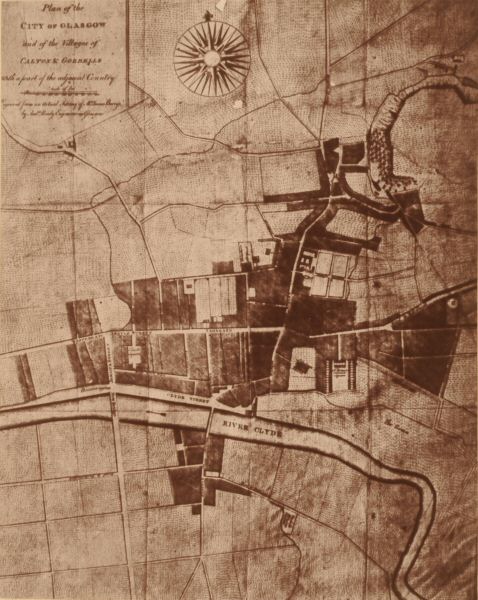
| Descrición | Map of Glasgow in 1776 | ||||
| Data | |||||
| Orixe | [1] | ||||
| Autoría | |||||
| Licenza (Reuso deste ficheiro) |
|
||||
Historial do ficheiro
Prema nunha data/hora para ver o ficheiro tal e como estaba nese momento.
| Data/Hora | Miniatura | Dimensións | Usuario | Comentario | |
|---|---|---|---|---|---|
| actual | 12 de agosto de 2007 ás 07:50 | | 478 × 600 (124 kB) | Asta~commonswiki | {{Information |Description=Map of Glasgow in 1776 |Source=[http://gdl.cdlr.strath.ac.uk/smihou/smihou102.htm] |Date=1878 |Author= |Permission={{PD-old}} |other_versions= }} Category:History of Glasgow |
Uso do ficheiro
A seguinte páxina usa este ficheiro:
Uso global do ficheiro
Os seguintes wikis empregan esta imaxe: