Ficheiro:Fort Wayne flood 1982.jpg
Tamaño desta vista previa: 800 × 561 píxeles. Outras resolucións: 320 × 224 píxeles | 640 × 448 píxeles | 1.024 × 717 píxeles | 1.280 × 897 píxeles | 1.500 × 1.051 píxeles.
Ficheiro orixinal (1.500 × 1.051 píxeles; tamaño do ficheiro: 570 kB; tipo MIME: image/jpeg)
| Este ficheiro procede de Wikimedia Commons. A continuación móstrase a información da súa páxina de descrición. Commons é un repositorio libre de ficheiros multimedia. Pode contribuír alí cargando as súas imaxes. |
| Descrición |
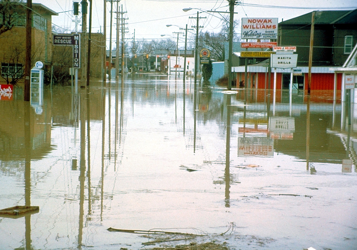
English: Flooded streets in Fort Wayne, Indiana, USA, during the disastrous floods of 1982. |
|||
| Data | ||||
| Orixe |
U.S. Army Corps of Engineers Digital Visual Library Image page Image description page Digital Visual Library home page |
|||
| Autoría | U.S. Army Corps of Engineers, photographer not specified or unknown | |||
| Licenza (Reuso deste ficheiro) |
|
|||
| Localización | Fort Wayne, Indiana, USA |
| Localización da cámara | | Esta e outras imaxes na súa localización en: OpenStreetMap |
|---|
Historial do ficheiro
Prema nunha data/hora para ver o ficheiro tal e como estaba nese momento.
| Data/Hora | Miniatura | Dimensións | Usuario | Comentario | |
|---|---|---|---|---|---|
| actual | 29 de marzo de 2007 ás 04:14 | | 1.500 × 1.051 (570 kB) | DanMS | {{Information | Description = {{en|Flooded streets in Fort Wayine, Indiana, USA, during the disastrous floods of 1982.}} | Source = U.S. Army Corps of Engineers Digital Visual Library<br />[http://images.usace.army.mil/images/Hires/3998-55.Jpg |
Uso do ficheiro
A seguinte páxina usa este ficheiro:
Uso global do ficheiro
Os seguintes wikis empregan esta imaxe:
- Uso en ast.wikipedia.org
- Uso en en.wikipedia.org
- Uso en es.wikinews.org
- Uso en eu.wikipedia.org
- Uso en hy.wikipedia.org
- Uso en io.wikipedia.org
- Uso en ja.wikipedia.org
- Uso en pl.wikipedia.org