Ficheiro:Central Croatian Adriatic.png

Ficheiro orixinal (773 × 736 píxeles; tamaño do ficheiro: 183 kB; tipo MIME: image/png)
| Este ficheiro procede de Wikimedia Commons. A continuación móstrase a información da súa páxina de descrición. Commons é un repositorio libre de ficheiros multimedia. Pode contribuír alí cargando as súas imaxes. |
| Descrición |
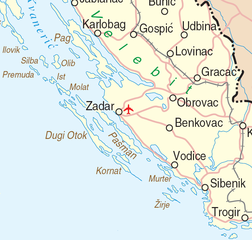
Deutsch: Map of the Central Croatian Adriatic Sea |
|||
| Data | ||||
| Orixe | http://www.un.org/Depts/Cartographic/map/profile/croatia.pdf | |||
| Autoría | Department of Peacekeeping Operations Cartographic Section | |||
| Licenza (Reuso deste ficheiro) |
|

Historial do ficheiro
Prema nunha data/hora para ver o ficheiro tal e como estaba nese momento.
| Data/Hora | Miniatura | Dimensións | Usuario | Comentario | |
|---|---|---|---|---|---|
| actual | 23 de marzo de 2007 ás 16:58 | | 773 × 736 (183 kB) | Minestrone | {{Information| |Description=Map of the Central Croatian Adriatic Sea |Source=http://www.un.org/Depts/Cartographic/map/profile/croatia.pdf |Date=June, 2004 |Author=Department of Peacekeeping Operations Cartographic Section |Permission={{UN map}} }} |
Uso do ficheiro
Non hai páxinas que usen este ficheiro.
Uso global do ficheiro
Os seguintes wikis empregan esta imaxe: