Ficheiro:Isle of Anglesey UK location map.svg

Tamaño desta vista previa en PNG do ficheiro en formato SVG: 681 × 600 píxeles. Outras resolucións: 273 × 240 píxeles | 545 × 480 píxeles | 872 × 768 píxeles | 1.163 × 1.024 píxeles | 2.325 × 2.048 píxeles | 1.425 × 1.255 píxeles.
Ficheiro orixinal (ficheiro SVG; resolución de 1.425 × 1.255 píxeles; tamaño do ficheiro: 793 kB)
| Este ficheiro procede de Wikimedia Commons. A continuación móstrase a información da súa páxina de descrición. Commons é un repositorio libre de ficheiros multimedia. Pode contribuír alí cargando as súas imaxes. |
| Descrición |
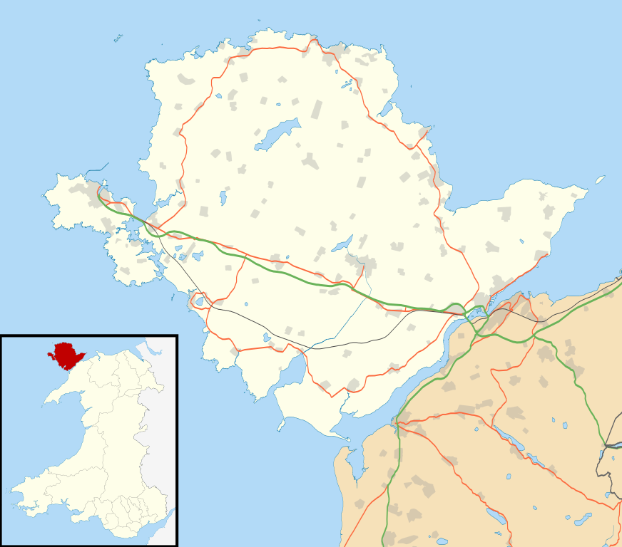
Blank map of the Anglesey, UK with the following information shown:
Equirectangular map projection on WGS 84 datum, with N/S stretched 165% Geographic limits:
|
| Data | |
| Orixe |
|
| Autoría | Nilfanion, created using Ordnance Survey data |
| Licenza (Reuso deste ficheiro) |
Este ficheiro está licenciado baixo a licenza Creative Commons recoñecemento compartir igual 3.0 sen adaptar. Recoñecemento: Contains Ordnance Survey data © Crown copyright and database right
|
| Outras versións | File:Isle of Anglesey UK map.svg - Blank map |
Historial do ficheiro
Prema nunha data/hora para ver o ficheiro tal e como estaba nese momento.
| Data/Hora | Miniatura | Dimensións | Usuario | Comentario | |
|---|---|---|---|---|---|
| actual | 26 de setembro de 2010 ás 19:34 | | 1.425 × 1.255 (793 kB) | Nilfanion | {{Information |Description=Blank map of the Anglesey, UK with the following information shown: *Administrative borders *Coastline, lakes and rivers *Roads and railways *Urban areas Equirectangular map projection on WGS 84 datum, wi |
Uso do ficheiro
Uso global do ficheiro
Os seguintes wikis empregan esta imaxe:
- Uso en af.wikipedia.org
- Uso en ar.wikipedia.org
- Uso en bn.wikipedia.org
- Uso en ceb.wikipedia.org
- Uso en cy.wikipedia.org
- Uso en da.wikipedia.org
- Uso en el.wikipedia.org
- Uso en en.wikipedia.org
- List of monastic houses in Wales
- Holyhead
- Beaumaris Castle
- Llangefni
- Amlwch
- Cemaes
- Newborough, Anglesey
- Beaumaris
- Menai Bridge
- Caernarfon Bay
- RAF Valley
- Bodedern
- Middle Mouse
- West Mouse
- RAF Mona
- South Stack
- Aberffraw
- Pentraeth
- Ynys Llanddwyn
- Llannerch-y-medd
- Llaingoch
- Llandegfan
- Benllech
- Moelfre, Anglesey
- Llangoed
- Red Wharf Bay
- Abermenai Point
- Cemlyn
- Fedw Fawr
- Tŷ Croes
- Ynys Feurig, Cemlyn Bay and The Skerries Special Protection Area
- Ynys Benlas
- South Stack Cliffs RSPB reserve
- Aber Alaw
- Rhosneigr
Ollar o uso global deste ficheiro.